Self Guided Driving and Walking Audio Tour in Muir Woods
説明は英語で表示されます。
- 3〜4時間
- 24時間前まで無料キャンセル
- 英語のガイド付き
- 即時確定
見どころ
Download GuideAlong's Muir Woods audio tour for an awe-inspiring walk towering redwood trees. Just 15 miles from San Francisco and next door to Mount Tamalpais State Park, Muir Woods National Monument protects one of the most pristine stands of redwood trees left on the planet. Expert narration shares the stories behind these magnificent trees as you drive the winding road to the woods, then walk the gentle, two-mile walking path to iconic spots in the forest like Founders Grove, Bohemian Grove, and Redwood Creek. Enjoy the freedom to explore offline at your own pace, spending more time at places that interest you and bypassing any that don’t. Stories, tips, and directions play automatically based on your location Travel at your own pace Tour offline using GPS. No cell service or WiFi is needed Suggested itineraries for half, full, or multi-day use No time limits or expiry, and free updates
含まれるもの
料金に含まれるもの
- Support: Toll free phone, chat and email
- Easy To Use: Pre-download and tour offline
- Trip Planners: In-app, web and PDF
- Location Based: Stories, tips & directions that autoplay
- GuideAlong (GyPSy Guide) Audio Tour: 30+ Points
- Includes an app-based self-guided experience, so you do not need any in-person guide.
- Buy once, use forever! No expiry, includes free updates
- Flexible Routes: Suggested itineraries or create your own
含まれないもの
- Entry Fees, National Park Passes, Reservations
行程
True to its name, Panoramic Highway winds through the slopes of Mount Tamalpais with forests, ridgelines, and scenic viewpoints appearing around nearly every bend. Follow this beautiful mountain road toward Muir Woods while watching the landscape shift between redwood forest, open hillsides, and distant coastal scenery.
One of California’s most recognizable landmarks, the Golden Gate Bridge connects San Francisco with Marin County across the dramatic Golden Gate strait. Take in sweeping views of the bay, Pacific Ocean, and city skyline as you cross; pedestrians can walk the bridge for free, while vehicles traveling southbound pay a toll.
Rising high above Marin County, Mount Tamalpais offers forests, winding mountain roads, hiking trails, and spectacular views toward San Francisco Bay and the Pacific. Discover how the mountain became a popular recreation destination and once welcomed visitors aboard the famously twisting Mount Tamalpais Scenic Railway.
This narrow, winding road descends through the hills toward the sheltered redwood canyon of Muir Woods. Enjoy the increasingly lush scenery as you approach the monument, but plan ahead if driving—parking at Muir Woods requires an advance reservation and spaces frequently sell out.
Long before it became Muir Woods National Monument, this sheltered valley was known as Redwood Canyon and formed part of the homeland of the Coast Miwok people. Its cool, moist conditions protected stands of ancient coast redwoods, creating the extraordinary forest visitors still walk through today.
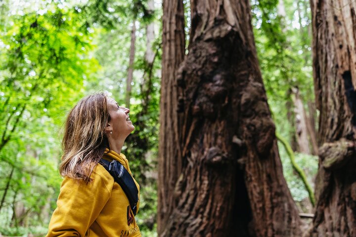
Walk beneath an extraordinary old-growth forest where coast redwoods rise hundreds of feet above the canyon floor. Protected as a national monument in 1908 and named for conservationist John Muir, this peaceful forest offers accessible walks, longer hiking trails, and an unforgettable chance to stand among some of the world’s tallest trees.
Begin your walk through the redwoods at the park’s main visitor center, located just inside the entrance. Stop for maps, trail information, ranger guidance, and books about the forest before setting out along the main trails beside Redwood Creek.
Take a break beneath the redwoods at this café and retail stop inside Muir Woods. Browse souvenirs and locally themed gifts or grab food and refreshments before continuing along the forest trails deeper into the monument.
Step into a historic grove honoring some of the people who helped protect Muir Woods for future generations. Look for the tree and plaque dedicated to pioneering conservationist Gifford Pinchot in 1910, then continue beneath towering redwoods along the monument’s main walking route.
One of the most peaceful sections of Muir Woods, Cathedral Grove contains some of the monument’s tallest and oldest redwoods and is designated as a quiet area. It also holds an important piece of world history: United Nations delegates gathered here in 1945 for a memorial ceremony honoring President Franklin D. Roosevelt.
Flowing beneath the towering trees, Redwood Creek is the natural lifeline of the Muir Woods ecosystem. Follow trails beside its waters while learning how the creek supports redwoods, ferns, wildlife, and important native species including threatened steelhead trout and endangered coho salmon.
One of Marin County’s best-known historic trails, the Dipsea stretches roughly seven miles between Mill Valley and Stinson Beach and passes through the Muir Woods area. Follow part of this challenging route through redwoods and grassy hills while discovering the trail that inspired the famous Dipsea Race in the early 1900s.
キャンセル
開始24時間前まで無料でキャンセルでき、全額返金されます。
参加前に知っておくこと
- 集合場所
- Includes an app-based self-guided experience, so there is no need to meet an in-person guide. Start at 256 CA-1 in Mill Valley. Commentary guides you to the Muir Woods Visitor Center, then continues on foot inside the park. Search your email for “Download Audio Tour.”
- 送迎
- 全員が出発場所で合流します。送迎はありません。
- チケットの種類
- Mobile or paper ticket accepted
- 催行会社
- Gypsy Guide GPS LLC
- Public transportation options are available nearby
- Suitable for all physical fitness levels
- How to Access: After booking you’ll receive an email and text with instructions (search “Download Audio Tour”). Click the link in the email/text to sign in with your preferred Apple or Google account and redeem your voucher code ahead of time.
- Download The GuideAlong App: Download the free app over WiFi or cellular data and sign in with the same Apple or Google account.
- Download The Tour: Download the tour in the GuideAlong app under 'My Tours' over WiFi or cellular data.
- Start The Tour: Open the tour in the GuideAlong app to preview the start locations, tour route and trip planner, or start the tour.
- Location-Based Stories: Audio commentary plays automatically as you drive using your phone’s GPS chip. Wherever you are and whichever direction you’re going, you’ll hear the best stories and tips.
- Flexible Travel Date: Tours are a one-time purchase with no expiry or date/time limit. If your plans change to a different day, there’s no need to change your travel date.
How it compares in サンフランシスコ
- Its from-price is 87% below the median of the 999 experiences we list in サンフランシスコ.
- Its length is typical for the group.
- The operator lists free cancellation on it.
About サンフランシスコ
サンフランシスコは、太平洋と湾の間の半島に急な坂が重なる街で、ケーブルカー、ゴールデン・ゲート・ブリッジ、色鮮やかな街区があります。
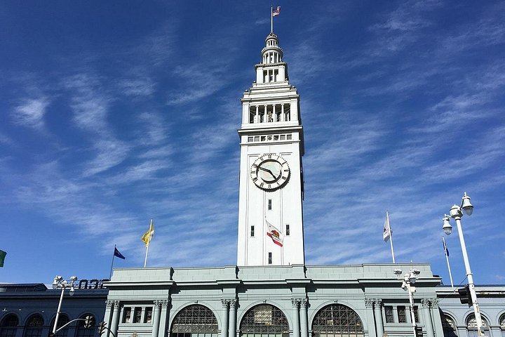
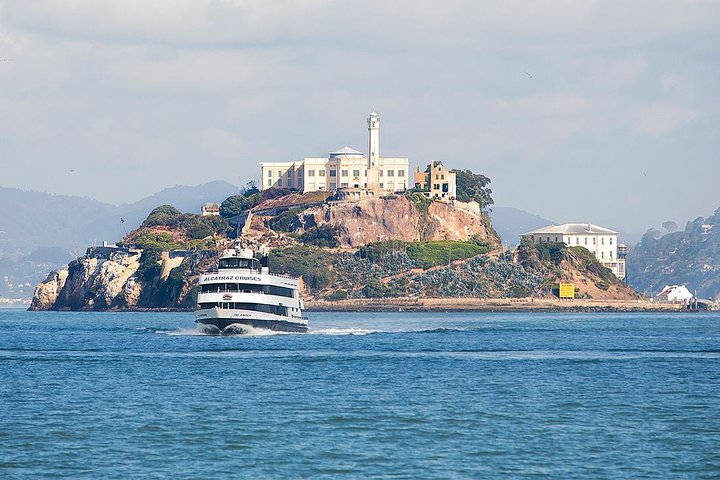
ゴールデン・ゲート・ブリッジは湾の入口の海峡にかかり、しばしば霧に包まれ、歩いたり自転車で渡るのは定番の体験です。ボートは旧刑務所の島アルカトラズへ渡り、フィッシャーマンズ・ワーフは、シーフードと、ピア39の桟橋で日向ぼっこをするアシカで有名です。フェリー・ビルディングは食通のためのマーケットです。
Top-ranked sights in サンフランシスコ: Golden Gate Bridge, Union Square, San Francisco Chinatown.
サンフランシスコの特別価格
割引前と割引後の価格は事業者が示すもので、当サイトが付けたものではありません。